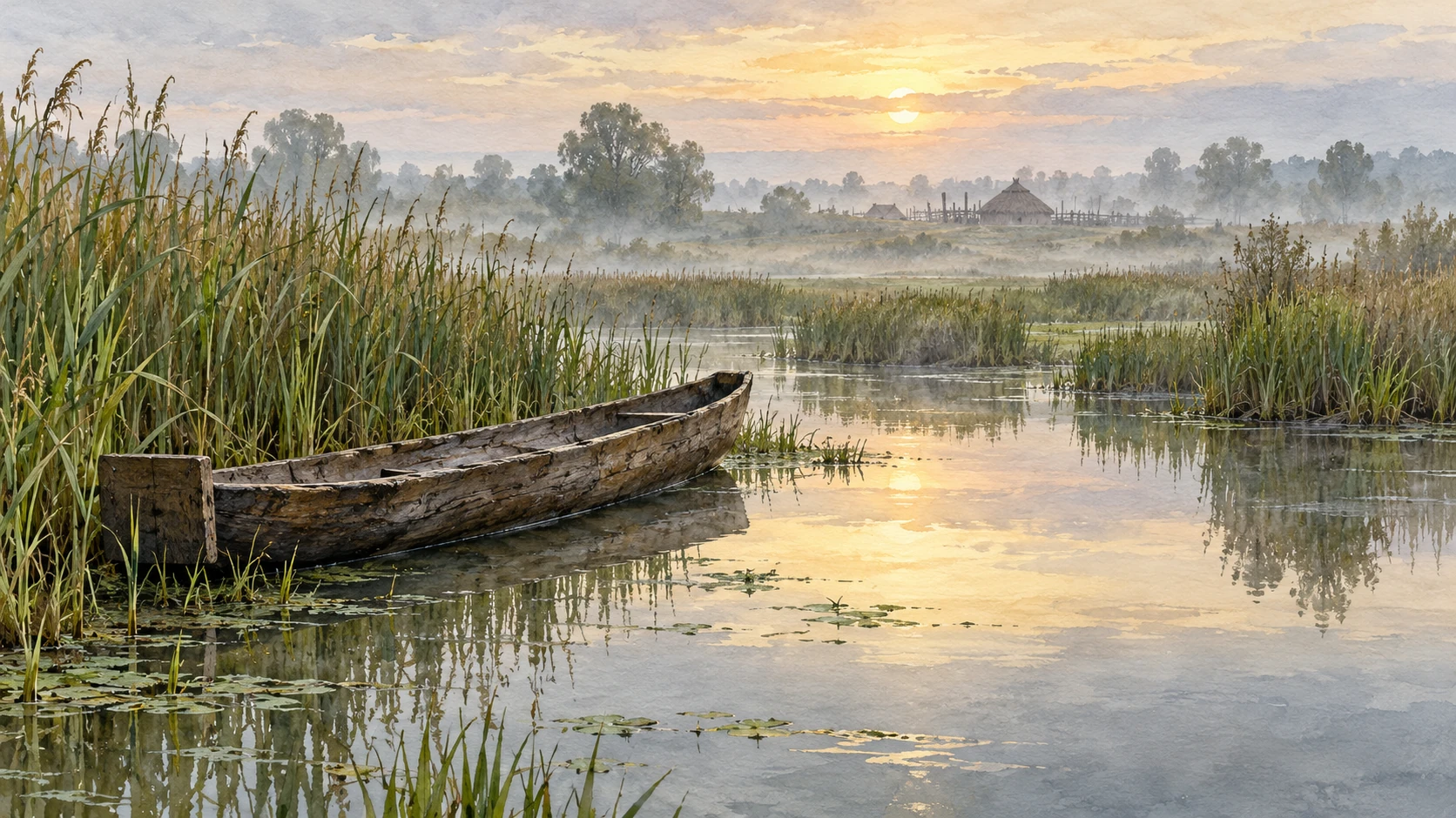
A narrow boat lies inside the shape of a tree. Remove enough wood from a trunk and a hollow form can carry a person or a load along a channel. The apparent simplicity hides choices about the tree, the wall thickness, the ends, the stability, and the water in which the boat will work.
At Must Farm in Cambridgeshire, nine surviving logboats help restore waterways to the picture of prehistoric life. They are close to the celebrated burned settlement, but they are not all one fleet frozen in the same event. Their differing dates make the river a longer archive.
The settlement and the boats share a landscape, not one moment
The University of Cambridge’s account of the Must Farm publications places nine logboats upstream of the settlement and notes that their dates extend across the Bronze Age and into the Iron Age. Some were contemporary with the settlement. That careful sentence prevents an attractive but misleading scene in which all nine are moored outside the houses on one day.
The Cambridge Archaeological Unit explains that the boats and the settlement emerged from one of the site’s palaeochannels—an old river course since filled with sediment. The modern quarry landscape is therefore only the latest setting around the evidence.
“Upstream” is a relationship in a reconstructed watercourse, not merely a point to the left on a photograph. To understand the finds, a reader has to picture a changing river, its banks, and the gradual accumulation of deposits.
A river preserves activity as well as objects
Historic England’s research account describes fish weirs, fish traps, whole and partial logboats, and bronze weapons in the watercourse upstream of the timber platform. This is a landscape containing multiple activities, not a transport route empty except for passing boats.
The Must Farm project’s river overview similarly connects the logboats with a wider sequence of discoveries. A river could support movement, fishing, access, and disposal over time. Which activity explains a particular object’s presence has to be investigated rather than assumed.
A boat on the bottom may have been lost, abandoned, deposited, or affected by later movement. The surviving shape alone does not choose among those histories. Its position, condition, associations, and dating contribute different clues.
Why one tree is not a primitive shortcut
A logboat asks a maker to work with a material whose size and grain are already given. A wide trunk does not automatically yield a safe or useful vessel. Remove too little and the object remains heavy; remove too much and strength can become a problem. The ends, bottom, and sides must cooperate as a form in water.
These are general design considerations, not a claim to know the exact sequence used on every Must Farm boat. Tool marks and construction details are the evidence for the specific object. A modern demonstration can help interpret them, but it must be compared with the find rather than replacing it.
A research overview of British logboats in Internet Archaeology places them across a much longer chronology, including later historical use. A form that remains useful is not automatically a form abandoned as soon as more complex construction becomes possible.
A channel map you can make on paper
Draw a winding river with a settlement on one bank, reeds on another, and a side channel entering nearby. Add three possible destinations: a fishing place, a landing, and a place to collect raw material. These are invented features for a thought experiment, not a map of Must Farm.
Now draw two routes between the same points: one following water and one crossing land. Where would a narrow boat help? Where might shallow water, a tight bend, or a landing complicate the journey? The exercise makes transport a relationship between vessel and landscape rather than a free-floating object.
Add a seasonal change by shading one shallow area as temporarily inaccessible. Notice how the usefulness of a particular boat can change without the boat itself changing. An environment is part of the technology’s practical setting.
Read one boat as a sequence of evidence
Historic England’s record for Must Farm Logboat 3 places it in a palaeochannel and dates it to the Late Bronze Age or Early Iron Age. The record’s older wording about the recovered total is a reminder that catalogs can preserve stages in an excavation’s unfolding history.
When comparing accounts, note the publication date and whether a count describes a preliminary discovery or a completed investigation. A changing count is not necessarily a contradiction in the archaeology; it may reflect additional work.
For a looking session, make four short notes: the preserved shape, the construction details actually described, the deposit, and the dating evidence. Leave a fifth space for what you would like to know about use. This keeps an unanswered question from quietly becoming a captioned fact.
A route can matter even when no permanent track survives beside it. On your sketch, mark a place that is easy to reach by water and difficult to reach overland. Then reverse the conditions by imagining a blocked channel. This original map exercise helps explain why changes in water access can reorganize a familiar landscape without any settlement moving on the page.
What the boats add to the human picture
The logboats shift attention from a famous disaster to the repeated work of inhabiting a watery landscape. A settlement’s food, tools, materials, and connections depend on ways of reaching places. The river is infrastructure, habitat, and a changing material environment at once.
The most immersive reconstruction is not necessarily the one with the most confident detail. It is the one that helps a reader imagine movement while showing which parts come from evidence. Nine boats spread through time give us a river with a history, and a reason to see a marsh not as an empty obstacle but as a place people knew how to use.
Sources and a closer look
Cambridge: Must Farm publications and landscape; Cambridge Archaeological Unit: new excavations; Historic England: Must Farm timber platform research; Must Farm project: Bronze Age river; Internet Archaeology: logboats overview; Historic England: Logboat 3 record.
Find more art, ideas, and unexpected connections at Incoprea.