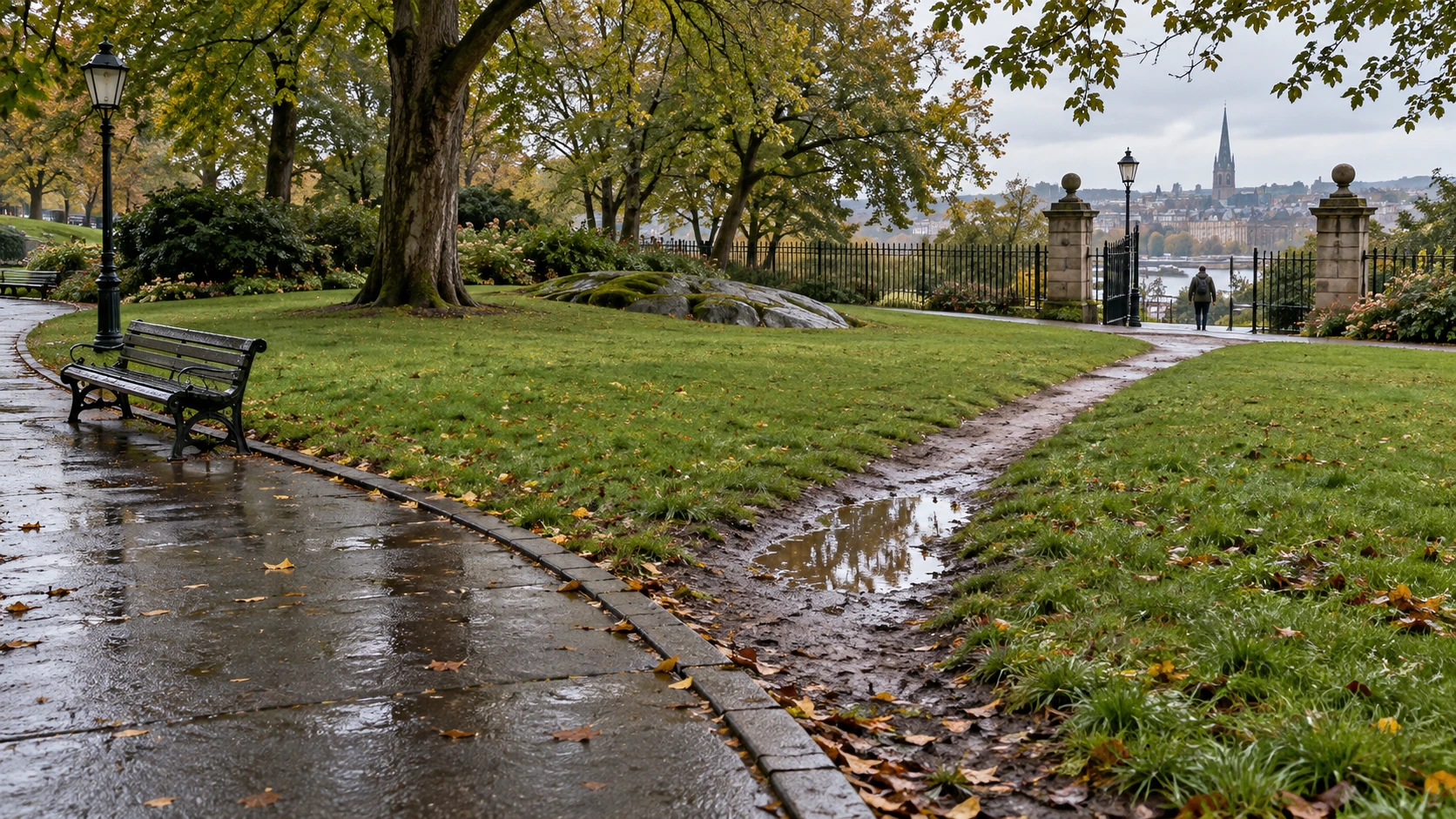
A pale diagonal cuts across the grass between a bus stop and a building entrance. The official pavement goes around two sides of the lawn. The dirt line seems to deliver a neat verdict: people have voted with their feet, and the designer should simply pave what they chose.
That may be a good solution. It may also be an incomplete reading of a useful clue. A worn route shows that some movement has occurred there. It does not automatically identify every user, every destination, every season or every person who could not use that route.
Read what the line actually records
Stand where you can observe without blocking anybody. Follow the route with your eyes. Does it start at a gate, a gap in a hedge, a parking space or a crossing? Does it join the entrance people actually use, rather than the one marked on the plan? The endpoints can be more informative than the path’s pleasing diagonal.
NACTO’s intersection principles explicitly treat existing pedestrian behavior and desire lines as inputs to design. This is a serious planning idea: the movement people attempt can reveal a mismatch between a network and its destinations.
But visible wear is cumulative and selective. One person making the same trip repeatedly and many people crossing once can both contribute. Soil, slope, drainage and vegetation affect what survives as a mark. From a photograph alone, you cannot convert width into an exact pedestrian count.
Make three competing explanations
Instead of deciding immediately that people want the shortest distance, write three possible stories. The route might shorten the journey. It might avoid a dark or unpleasant corner. Or it might be a temporary response to a blocked gate on the paved route.
Now ask what observation would distinguish them. If the obstruction disappears but the route remains busy, that weakens the temporary-blockage explanation. If use drops after heavy rain, surface condition matters. If the shortcut remains popular when it saves little distance, another quality may be important.
These are hypotheses for a local observation exercise, not findings about the fictional park in the illustration. The image supplies a situation to examine; a real intervention needs evidence from its actual setting.
A twenty-minute field notebook
- Sketch destinations and both formal and informal routes.
- Record time, weather and visible surface conditions.
- Count movements along each route without recording identities.
- Note hesitations, detours and places where people must wait.
- Write what cannot be determined from observation, including reasons for staying away.
Repeat at another time if possible. A short count can expose questions; it cannot establish a full annual pattern. Stay in public areas and avoid photographing identifiable people without permission.
The missing footprints matter
A muddy slope may be convenient for someone in walking shoes and unusable for someone wheeling. An informal opening can be too narrow for a mobility aid. A stepped shortcut can hide the fact that a step-free entrance is much farther away.
The Department for Transport’s Inclusive Mobility guidance frames the task around a barrier-free pedestrian environment. A design brief therefore needs more than the preferences of people who already manage the existing conditions. Ask people who use different mobility aids and people who currently avoid the space.
This does not make the desire path worthless. It gives it a more precise role. It is a clue to a missing connection, which can motivate an accessible connection rather than a literal tracing of every rut.
Connect the route to the rest of the journey
At a road edge, a neat new path can deliver people to an unsafe place to cross. In a park, a paved diagonal can direct water toward a doorway. These are reasons to connect the observation with drainage, visibility, entrances and the wider route network.
Active Travel England’s traffic-free path guidance links comfort and accessibility to surfaces, gradients, barriers and connections. Its point is broader than finding the straightest line. A successful route has to remain usable as a whole.
Try a paper decision: your shortcut saves thirty metres but passes through a low wet patch. Compare three options—paving exactly on the worn line, moving the connection slightly upslope, or improving the existing longer route. List who benefits and what you would need to measure. Distance alone cannot finish that comparison.
The pleasure of a desire path is its visible conversation between people and a place. The next step is to listen carefully enough that the conversation includes the people whose footprints the grass never recorded.
Sources and further exploration: NACTO: intersection design principles; Department for Transport: Inclusive Mobility; Active Travel England: traffic-free paths.
Explore all 50 new articles · Browse the complete illustrated collection
Explore more art, ideas, and independent projects at Incoprea.


