A robot enters a room it has never mapped. It sees a chair, a doorway, and a plant. To place the chair on a map, it needs to know where its camera is. To determine where its camera is, it would help to know where the chair stands. The apparent circle is the beginning of the problem, rather than a reason to give up.
Simultaneous localization and mapping—SLAM—estimates the moving sensor's state while constructing a representation of its surroundings. The useful trick is to keep the estimates connected. A new observation can then improve more than one part of the story.
Two uncertain things can constrain one another
Cadena and colleagues' research tutorial describes the robot state as including position and orientation, with other quantities possible. Its map represents relevant environmental features. Movement information and repeated observations jointly constrain that map and the robot's trajectory.
Try a paper version with a small tabletop scene. Place three distinct objects where you can see them without moving anything valuable. From one seat, sketch their relative directions. Move to another safe position and sketch again. You have two views, but neither sketch alone supplies a complete overhead map.
Now label which observed object corresponds to which earlier object. Those correspondences are crucial. If you mistake the plant for a second similar plant elsewhere, your reconstruction can acquire an internally plausible but false connection. Recognition is part of the geometry's evidence, not an optional caption added afterward.
A useful map need not look like a photograph
Davison and colleagues' MonoSLAM paper describes a real-time single-camera system using a sparse, persistent map of natural landmarks within a probabilistic framework. Its result is not simply a stitched panorama. The selected features support estimates of a camera moving through a previously unknown scene.
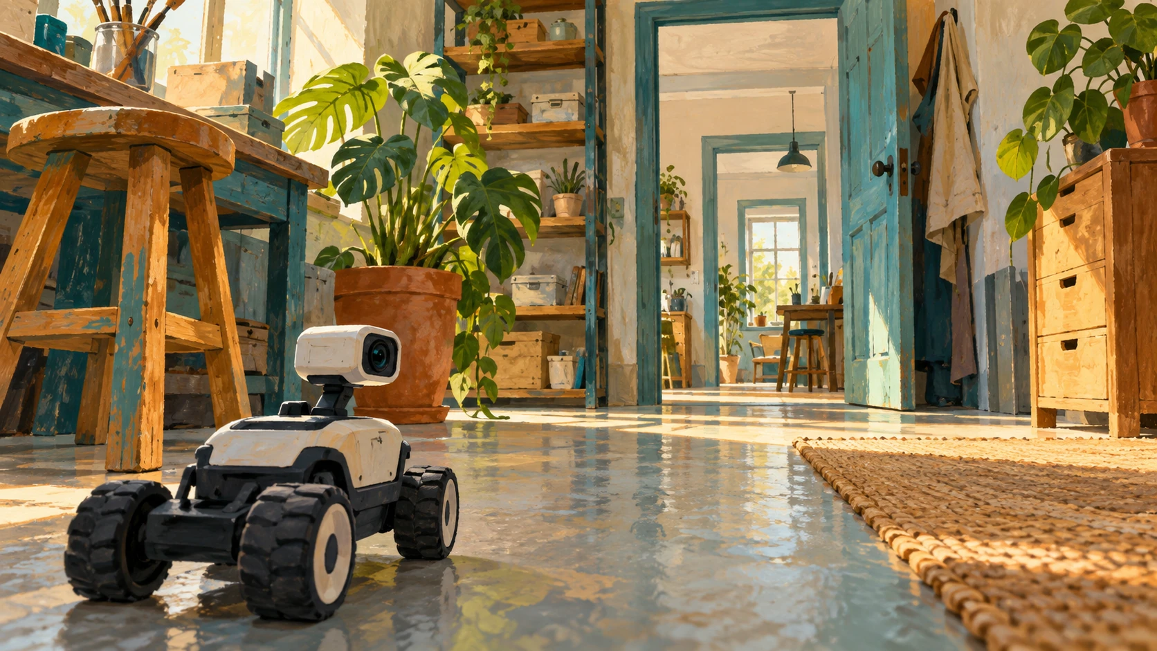
Look at the fictional robot's workshop view in the illustration. Which features might be distinctive across nearby viewpoints? A stool corner, an edge on a shelf, or a patterned object could offer different kinds of evidence. A feature that looks obvious to you is not automatically useful to a particular algorithm; the picture is a prompt for questions, not a demonstration of detected landmarks.
For your tabletop sketch, choose only three features and ignore decorative detail. Does the simpler map still let you describe where you moved? A representation can be useful because it preserves the relationships needed for a task, even while omitting much of the room's visible appearance.
The return journey is new information
Suppose estimated small movements accumulate a little error at each step. After a loop around a corridor, the estimated endpoint may miss the starting position. Recognizing a previously visited place adds a constraint: these observations belong together. Reconciling that constraint can change the estimated earlier route as well as the current location.
This is the idea of loop closure. In the tutorial, revisiting recognizable areas helps limit accumulated localization error. It is more than deciding where the robot is now. A globally consistent map may require revising several connected estimates.
Draw a four-sided walking loop with one side slightly too long, so the pencil does not return to its start. Mark the gap. If you learn that the endpoints are the same place, where should the correction go? Assigning all of it to the final step is one possibility, but a system using uncertainties and multiple observations can distribute adjustments across the connected history.
Tracking, relocalizing, and closing a loop are related jobs
The original ORB-SLAM paper combines tracking, mapping, relocalization, and loop closing using shared visual features. Tracking follows successive views. Relocalization recovers a pose after tracking has been lost. Loop closing connects a revisited region to the earlier map. Similar-looking results on a screen can conceal these different operations.
Read a demonstration with those distinctions in mind. Does the camera move smoothly through a familiar local region? Does it recover after a sudden view change? Does the map visibly adjust when the route returns? Name the event before judging whether the demonstration has solved every navigation problem.
A landmark diary without walking blind
Keep your eyes open and move only through a safe, familiar room. At three stopping places, note what distinguishes the location and which objects repeat. Draw the route afterward. Mark a correspondence you trust and one that could be confused. This is a human observation exercise, not an implementation or performance test of SLAM.
A moving chair, changing light, an occluded corner, or a repeated corridor can complicate the evidence. Different systems manage different sensors and environments, so one research demonstration is not a guarantee for every room. The enduring idea is the joint estimate: the map helps explain the motion, and the motion helps explain the map.
Sources and further exploration: Cadena and colleagues: SLAM tutorial and research outlook; Davison and colleagues: MonoSLAM; Mur-Artal and colleagues: ORB-SLAM.
Explore all 50 new articles · Browse the complete illustrated collection
Explore more art, ideas, and independent projects at Incoprea.


