The most arresting fact about the Sweet Track is not simply its age. It is the unusual precision with which part of its making can be dated. Timbers from a route across the Somerset wetlands preserve a calendar written before the tree was cut. Yet that calendar cannot tell us the names of the people who walked there.
This is a useful place to separate three questions: what survives, what can be dated, and what the route meant. The answers do not have equal precision. A date can be extraordinarily specific while a purpose remains open to interpretation.
Evidence file 1: a way above the wet ground
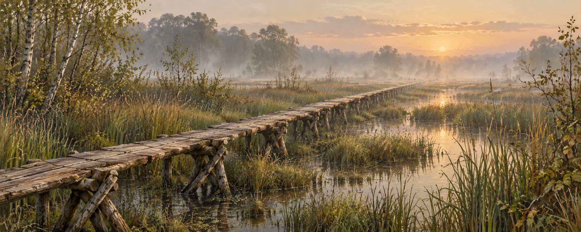
The Sweet Track ran for almost two kilometers through wetland between the Polden Hills area and Westhay. Its surviving construction shows a raised wooden route rather than a strip of permanently dry ground. The Somerset Historic Environment Record describes longitudinal rails, supporting pegs, and walking planks. Crossed pegs and other supports helped hold the upper surface above the lower timbers.
That is a more interesting object than the vague phrase “prehistoric boardwalk” suggests. A board resting directly on mud and a board carried by a support system solve different problems. Construction details reveal how the makers dealt with the ground. They also give archaeologists features that can be compared between stretches of the route.
The illustration evokes a wooden crossing, but it is not a measured reconstruction. In particular, a scenic depiction can simplify plank orientation, joints, spacing, and the supporting structure. Use the archaeological description, rather than the picture's attractive regularity, to understand the excavated design.
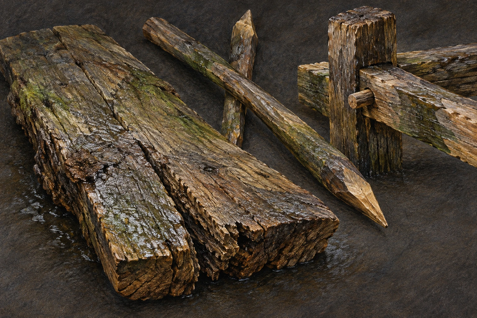
Also notice that “wood” is not one uniform material. A support, a peg, and a walking surface ask different things of a piece of timber. The record's distinctions between components are therefore worth retaining in your notes. A reconstruction that turns every part into the same regular lumber makes the route easier to picture while discarding some of the choices preserved in the remains.
Evidence file 2: the last ring
According to Historic England's research account, tree-ring evidence places felling for the Sweet Track in the winter of 3807–3806 BCE or early spring 3806 BCE. Repairs indicate use for at least several years afterward. This is a date for trees being felled, tied to construction through the archaeological context. It is not a diary entry announcing an opening ceremony.
Think about what must survive for such precision to be possible. An isolated piece of wood does not automatically produce a year. Archaeologists need a recognizable pattern of rings that can be compared with a dated sequence. The relationship between the final surviving ring and the tree's outer edge affects how closely felling can be estimated.
This distinction is especially helpful when encountering headlines. “A 3806 BCE trackway” is a useful shorthand. “Everyone crossed it on a known day in 3806 BCE” adds information the evidence does not supply. Precision in one measurement should never spread automatically to every sentence around it.
Evidence file 3: a route with a predecessor
The scheduled monument record includes both the Sweet Track and the earlier Post Track. The latter has a felling date of 3838 BCE. So even here, the neat story of one extraordinary invention is too simple. People had already been building routes through this wet landscape.
Compare the questions an earlier route raises with the questions it answers. It establishes that the landscape had an earlier episode of route construction. It does not tell us, by itself, whether the later route replaced exactly the same kind of journey, served the same users, or had the same social importance.
A crossing could help movement between places. That functional statement leaves room for different reasons to move: tasks, exchanges, visits, ceremonies, or combinations. Objects found near a route may inform those possibilities, but a striking object is not a caption explaining the whole site.
Evidence file 4: preservation is an ongoing experiment
Wet conditions helped the timbers survive. Changing those conditions can change what remains for future study. A 2022 research report describes trials using four trenches and monitoring from March 2017 to November 2019. During that interval, the monitored conditions did not indicate a significant desiccation threat. A trial membrane offered little observable benefit under those conditions.
Read the time boundaries carefully. A result from a monitored interval is evidence about that interval and that setting. It is neither proof of permanent safety nor proof that a proposed intervention must always fail. Conservation research is useful precisely because it tests assumptions against the place being protected.
The buried timber and the public reconstruction also have different needs. A reconstruction can help visitors picture movement. The original deposits preserve information that no reconstruction can replace. Making the former more visible should not mean treating the latter as expendable once the main story has been told.
Open the observation sheet
The printable sheet below asks you to classify six statements as observation, dating result, interpretation, or unsupported embellishment. It includes an answer guide. You can use it without visiting the site or handling any archaeological material.
Sweet Track evidence sheet
Printable six-statement evidence classification worksheet with answer guide.
For a second visual account, the South West Heritage Trust's archaeology films page includes a Sweet Track digital reconstruction. Watch for the decisions every reconstruction has to make: water level, vegetation, completeness, and the spacing of structural parts. Which are being illustrated, and which could you verify from the excavation record?
Here is a useful test afterward. Write two short descriptions of the site. In the first, include only claims directly established by the surviving materials and their analysis. In the second, add a plausible account of a journey. Underline every addition in the second description. This shows how rapidly a modest set of facts can become a vivid narrative.
There is nothing wrong with imagining that journey as long as the boundary remains visible. The timbers deserve both kinds of attention: curiosity about the lives around them, and care with what their survival allows us to know. A route made for movement has become a remarkably precise, incomplete record of human decisions.
Sources and further exploration
- Historic England: The Sweet Track and climate change
- Somerset Historic Environment Record: The Sweet Track
- Historic England research report 5/2022
- National Heritage List: Sweet Track and Post Track
- South West Heritage Trust: archaeology films
Explore all 80 new articles · Browse the complete illustrated collection
Continue exploring art, ideas, and unexpected connections at Incoprea.